Walter Maps |
| この情報はストアのものより古い可能性がございます。 | ||||
|
価格 | 無料 | ダウンロード |
|
|---|---|---|---|---|
| ジャンル | ナビゲーション | |||
サイズ | 44.7MB | |||
| 開発者 | Dianthus AB | |||
| 順位 |
| |||
| リリース日 | 2017-05-09 11:59:58 | 評価 | 評価が取得できませんでした。 | |
| 互換性 | iOS 7.0以降が必要です。 iPhone、iPad および iPod touch 対応。 | |||
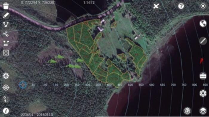
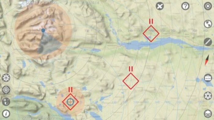
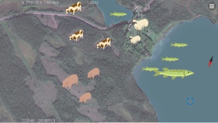
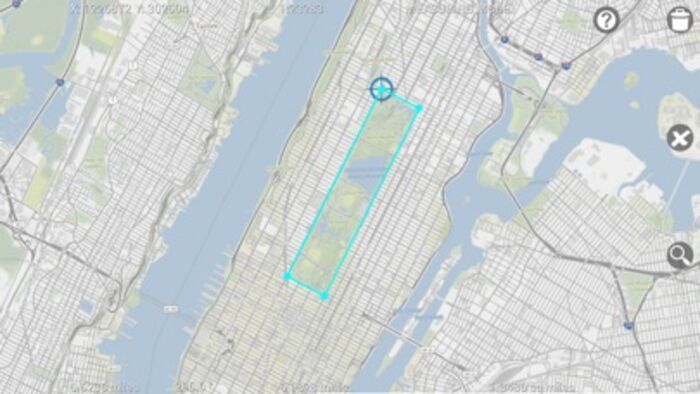
Walter Maps is a professional tool for online and fully offline geodata collection and editing. You can use it stand alone or as a ready-to-use field data collection tool in your existing geodata environment.
The app comes in two flavors, the free Walter Maps and Walter Maps Pro. The free Walter Maps contains some editing features, and could be regarded as a reader app for geodata and maps produced by Walter Maps Pro. The target audience for Walter Maps Pro is professional users collecting geodata and producing maps.
In this free version, Walter Maps, you can whenever you want unlock the Walter Maps Pro features monthly, i.e. you only pay for Pro functionality when you need it!
Important information about the Pro unlock subscription:
- The subscription unlocks the Pro functionality.
- This is a monthly subscription.
- The price per month is 10 USD.
- Payment will be charged to your iTunes Account at confirmation of purchase.
- The subscription automatically renews unless auto-renewal is turned off at least 24 hours before the end of the current period.
- Your account will be charged with 10 USD for renewal within 24 hours prior to the end of the current period.
- The subscription does not contain any free trial period.
Walter Maps and Walter Maps Pro contain the following basic features:
- No ads
- Supports Shape, TIFF, GeoTIFF, JPEG, WMS, WMTS, and TMS
- Record waypoints & tracks
- Easy measurements of coordinates, lengths and areas
- Supports many length and area units, e.g. m, miles, yards, sq.feet, ha, acres etc.
- Supports any map projection (projected coordinate system)
- Add and delete points, polygons & lines
- Collect 2 photos/videos per point, line or polygon feature
- View and edit attributes
- Create own symbologies (one per map layer)
- More than 670 built in symbols for points
- Use own point symbols in svg-format
- Download single or multiple symbols in svg-format
- Create and open map packages
- Copy GPS position to clipboard
- Use Dropbox for sharing and backup of data
- Download layers from http URLs
- Multi lingual-support, i.e. create your own language files. Default languages: English and Swedish.
- Fully described JSON based map document and map package format.
Walter Maps Pro contains the following additional professional features:
- Merge polygon features
- Multi part features to single part features
- Split polygons by drawn lines or other line layer
- Clean polygons
- Single step undo of geometry edits
- Create new shape files
- Add new attribute fields to shape files
- Use custom built rules (single or multiple) for creating data collection forms
- Collect any number of photos/videos per feature
- Select photos from device album
- Import points from text files
- Export vector layers to text files or MS Excel (*.xls)
- Download layers from pw protected URLs
- Email complete map or selected layer
- Launch websites based on feature attribute values
- Save WMS, WMTS, and TMS layers to offline layers
- Use cached WMS, WMTS, and TMS in online mode
- Cut and resample raster layers
- Export present map view to jpg image
- Any number of conditional symbologies, i.e. symbology by field based SQL-queries
- Pan to projected or geographic coordinate (x,y or lat,long)
- Display distance circles around current GPS position
- Display distance circles around cursor position
- Display proximity circles around current GPS position and around cursor position
- Measure raster values
- Copy coordinate for cursor position to clip board
- Quickly alternate layers
- Local backup of vector data
- Energy save mode
- Toolbox functions:
Distribute sample plots within polygons and along lines
The Walter Maps privacy policy can be found at:
http://waltermaps.com/privacy-policy/
The in app purchase "Unlock Walter Maps Pro" terms of use can be found at: http://waltermaps.com/walter_maps_ppm_terms_of_use/
更新履歴
This app has been updated by Apple to display the Apple Watch app icon.
- Removed bug preventing Walter Maps to verify *.wm_layer.zip and *.wm_map.zip packages in some special cases
- Removed bug preventing creation of shape files using user defined templates (Walter Maps Pro only)
- Removed bug preventing creation of sample plots using user defined templates (Walter Maps Pro only)
ブログパーツ第二弾を公開しました!ホームページでアプリの順位・価格・周辺ランキングをご紹介頂けます。
ブログパーツ第2弾!
アプリの周辺ランキングを表示するブログパーツです。価格・順位共に自動で最新情報に更新されるのでアプリの状態チェックにも最適です。
ランキング圏外の場合でも周辺ランキングの代わりに説明文を表示にするので安心です。
サンプルが気に入りましたら、下に表示されたHTMLタグをそのままページに貼り付けることでご利用頂けます。ただし、一般公開されているページでご使用頂かないと表示されませんのでご注意ください。
幅200px版
幅320px版
お気に入りのアプリをご紹介頂くためのブログパーツです。アプリの価格や順位表示は毎日自動更新♪
サンプルが気に入りましたら、下に表示されたHTMLタグをそのままページに貼り付けることでご利用頂けます。
※配信を停止させていただく可能性もございますので、タグの改変はご遠慮ください。

Now Loading...

「iPhone & iPad アプリランキング」は、最新かつ詳細なアプリ情報をご紹介しているサイトです。
お探しのアプリに出会えるように様々な切り口でページをご用意しております。
「メニュー」よりぜひアプリ探しにお役立て下さい。
Presents by $$308413110 スマホからのアクセスにはQRコードをご活用ください。 →
Now loading...